
Clennell Street - Northumberland Walk
Tuesday 25th April 2023
If you want solitude on your walk then this is the walk for you. We saw one walker close to the start of the walk and other than a few farmers in the distance on their quad bikes we had the hills to ourselves.
Start: Alwinton car park (NT 9197 0634)
Route: Alwinton car park - Clennell Street - Uplaw Knowe - Saughy Hill - Copper Snout - Shillmoor - Pass Peth - Alwinton car park
Distance: 8.25 miles Ascent: 490 metres Time Taken: 4 hrs 30 mins
Terrain: Clear paths
Weather: Dry and cloudy with a bitterly cold wind on the summits
Pub Visited: Rose & Thistle, Alwinton Ale Drunk: Hadrian Border Brewery, Northumbrian Gold
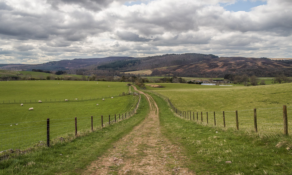
Almost as soon as we leave the village we start to ascend and are rewarded with views back to Harbottle Wood and Crags.
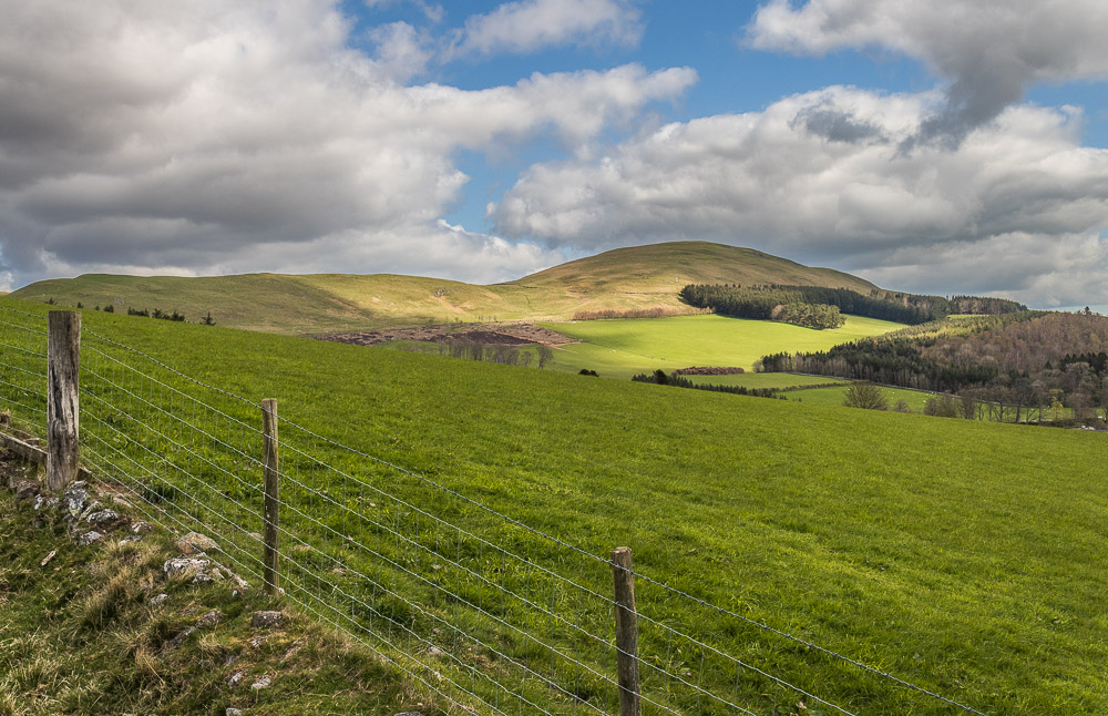
Ahead of us, but not on our route today are Clennell Hill and Silverton Hill.
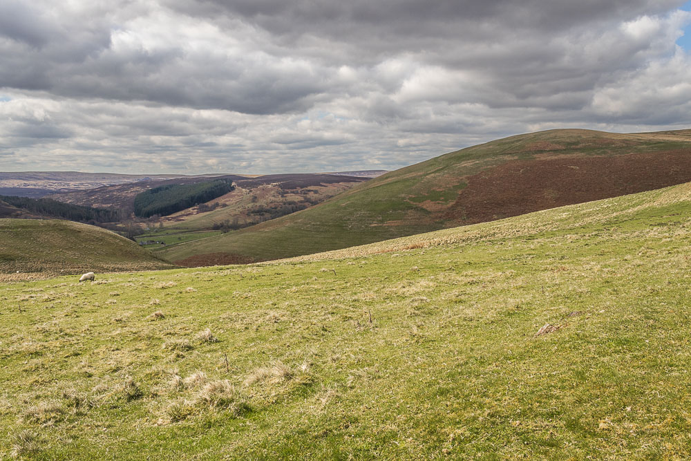
Looking across the lower slope of Lords Seat into Coquetdale and the Otterburn ranges, which are not on our route today.
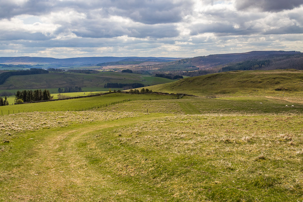
As we continue uphill the Simonside Hills come into view and to the right of the photo it is possible to make out the ramparts of Castle Hill Iron Age fort.
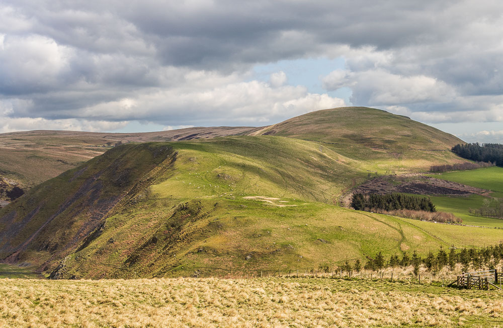
Looking across to Clennell Hill and Silverton Hill as we continue along Clennell Street towards Uplaw Knowe.
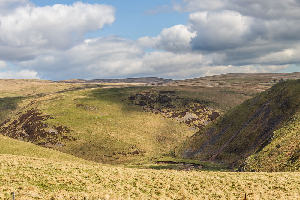
Looking across to Rookland Hill and the distant Puncherton Hill.
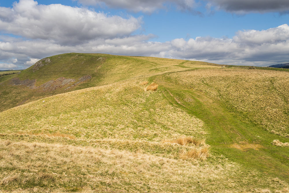
It is steady going along Clennell Street with it so far consisting of a gentle climb upwards.
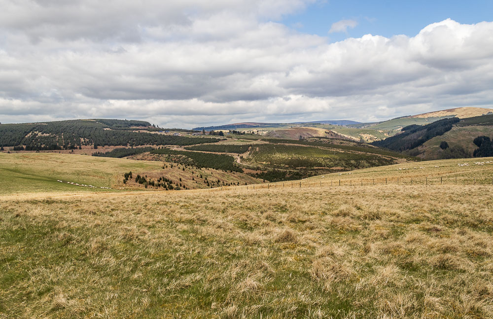
Once over the brow of the hill the view changes and we are now looking across to Kidland Forest and the settlement there known as Kidlandlee.
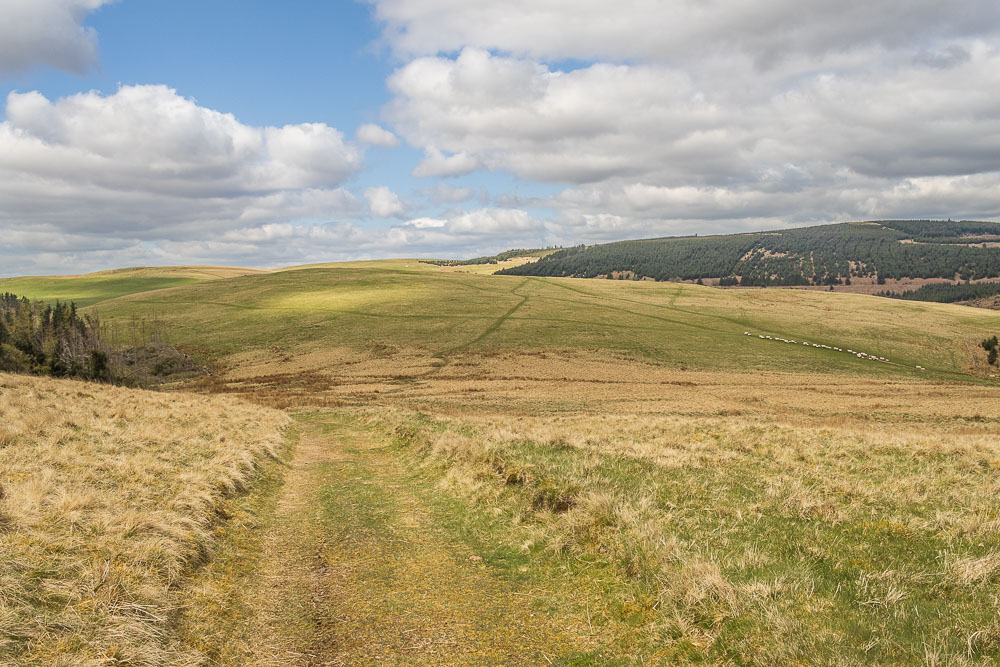
As we have been making our way up to Uplaw Knowe we have been watching a farmer gathering his sheep and herding them along the valley to our right and now it looks like our paths are about to cross. Rather than disturb his sheep we hang back and let him cross ahead of us, which earned us a friendly wave.
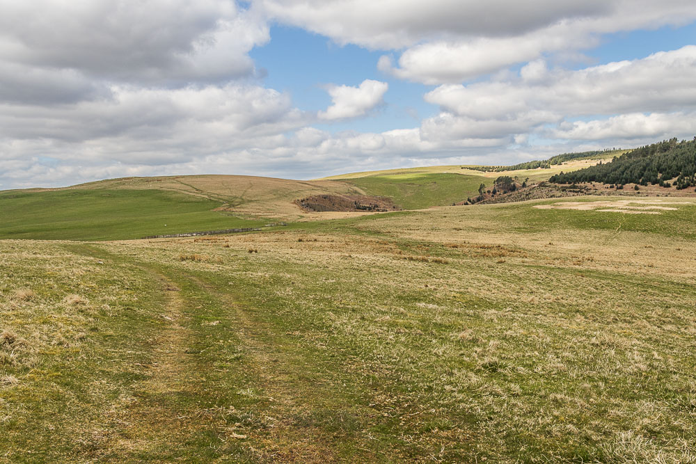
Our route continues gently up and we will soon pass the sheep pens ahead and cut across the lower slopes of Hare Sheds to the corner of the wood in the distance.
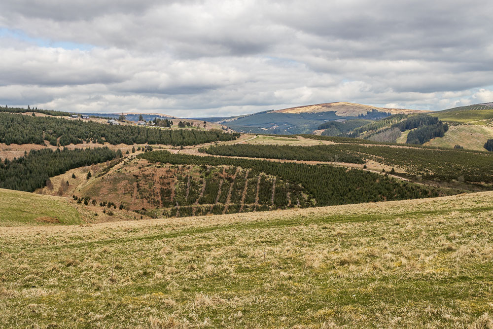
As we walk along the lower slopes of Hare Sheds the buildings at Kidlandlee are quite distinct. I think the hill in the distance is Wholhope Hill.
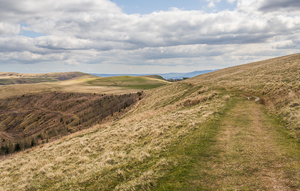
We are making very quick progress and when we look back are surprised at how far away both Uplaw Knowe and the sheep pens are.
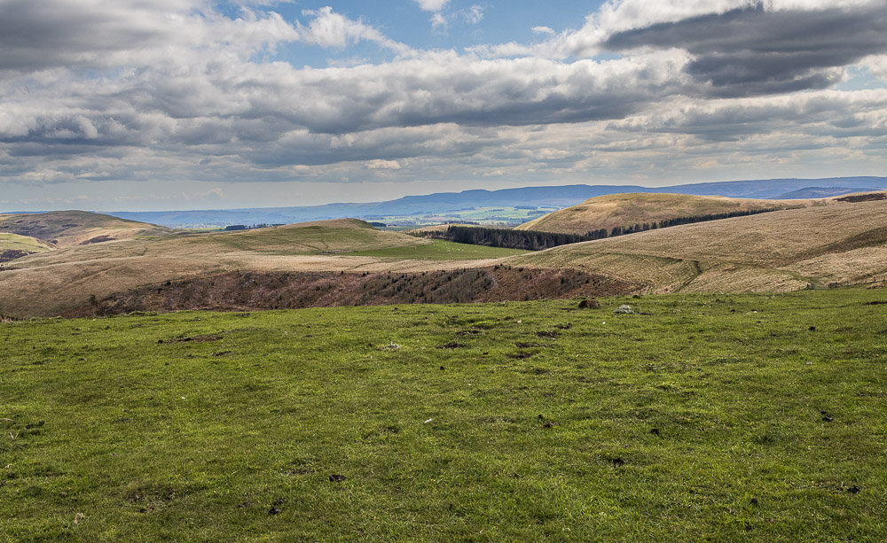
Pausing next to the shed at Wholehope we can now see the Simonside Hills across Hares Shed.

We have a short section of walking on the paths on the edge of Kidland Forest, much of which appears to have been felled and not replanted.
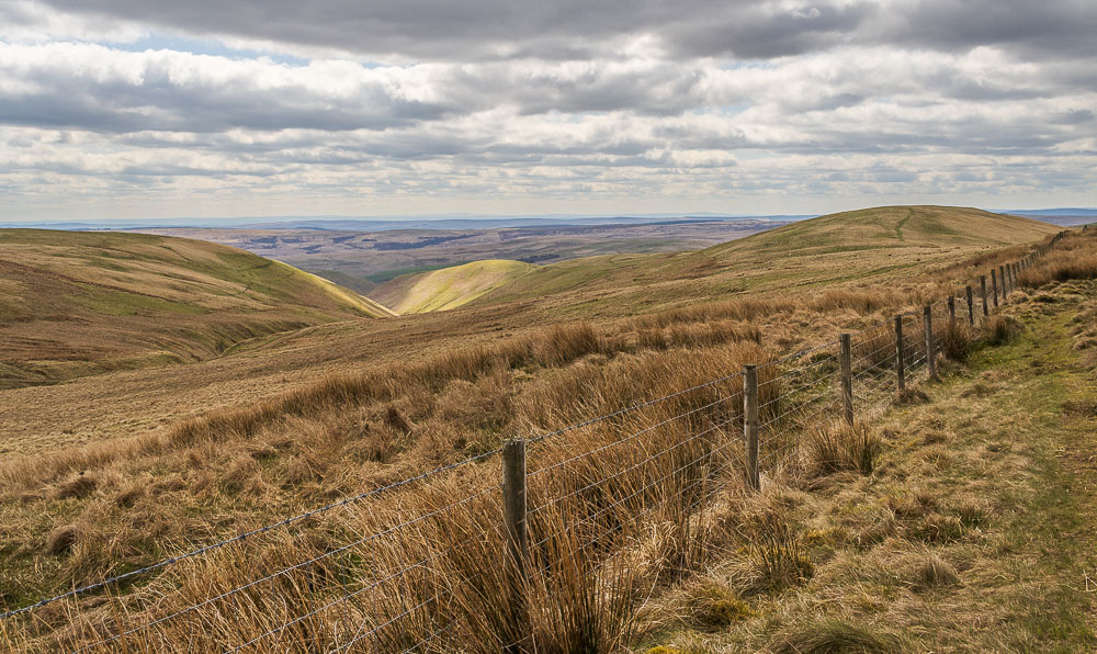
Shortly after leaving the forest track we find ourselves on the lower slopes of Saughy Hill. Having debated going up to the summit for lunch with a view the bitter edge to the breeze we can now feel make us opt for lunch lower down, using Saughy Hill to protect us from the breeze.
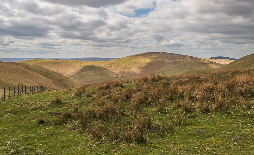
Our lunchtime view includes Shillhope Law on the other side of Usway Burn.
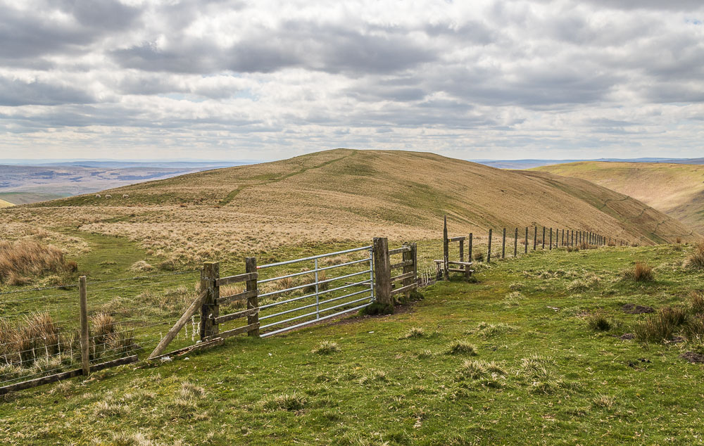
Our route back to the car will take us via the gate to Copper Snout. Once on the top we quickly notice how cold the breeze is, to the extent we were debating putting gloves and coats on.
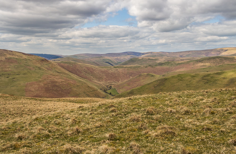
Thankfully we soon drop down and the slopes of the hill once again offer us some protection from the breeze. We pause to admire the view and work out that we can see the Border Ridge.
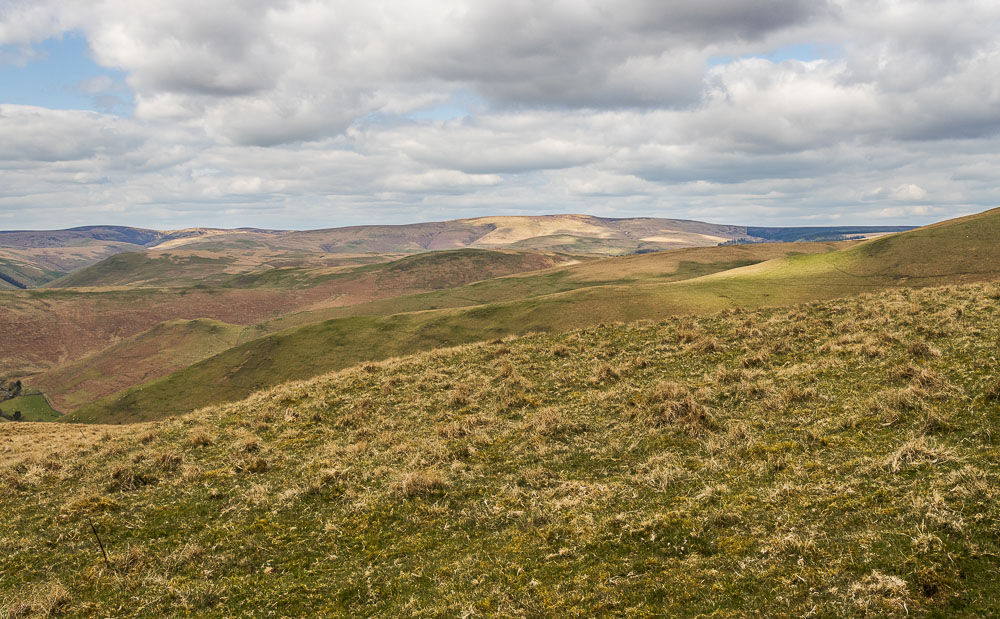
Looking across and using the map we work out that we can see the summits of Beefstand Hill and Windy Gyle, somewhere we walked before the website was set up.
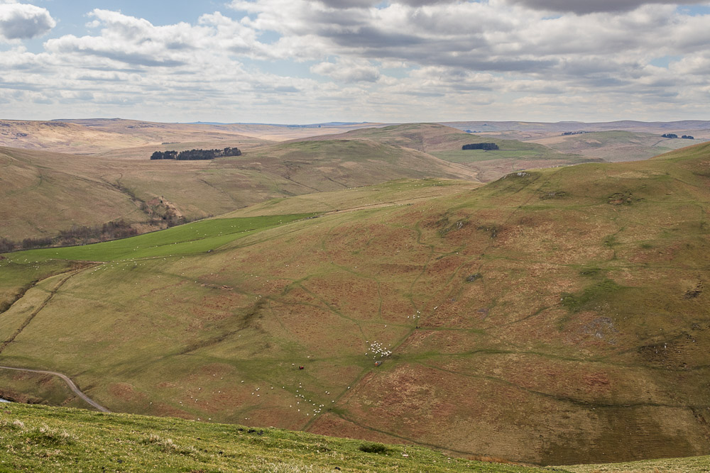
We find ourselves descending quickly and at the fence on Saugh Rigg pause to watch the farmers below us gathering up their sheep.
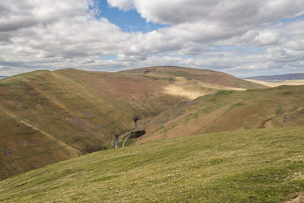
Looking back along Usway Burn as it meanders below Shillhope Law.
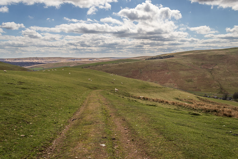
As we drop down the lower slopes of Saugh Rigg the small hamlet of Shillhope in Upper Coquetdale comes into view.
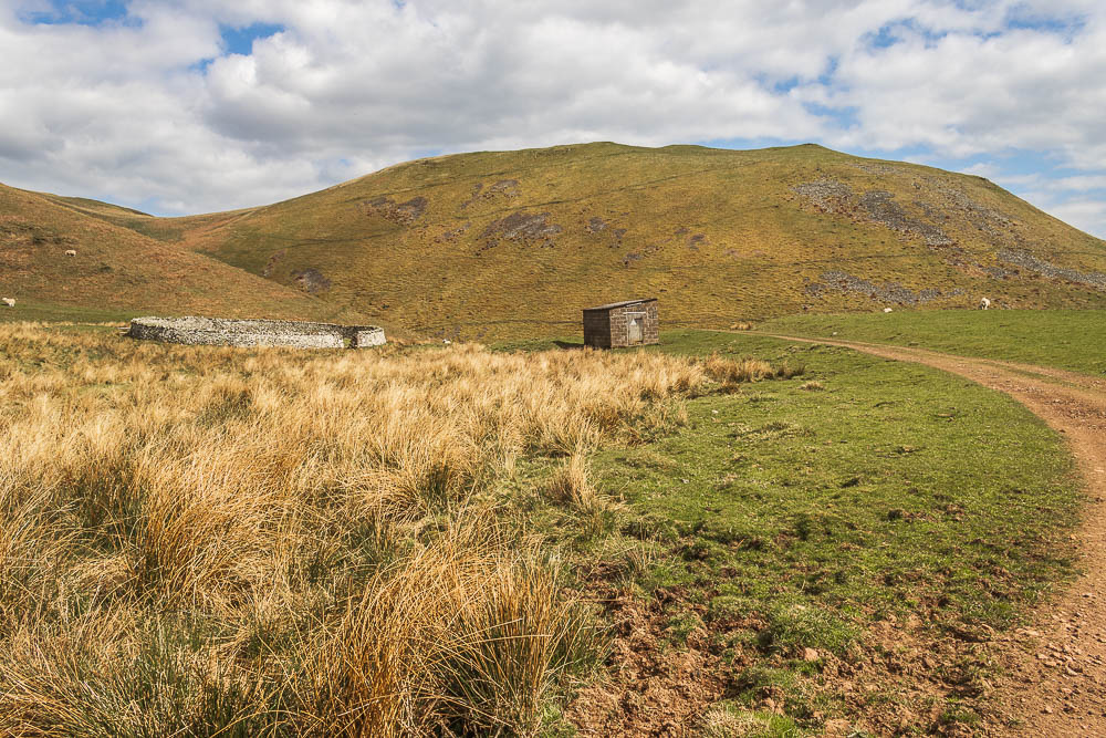
Continuing downhill, we pass the first of two well constructed circular sheepfolds we will see today.
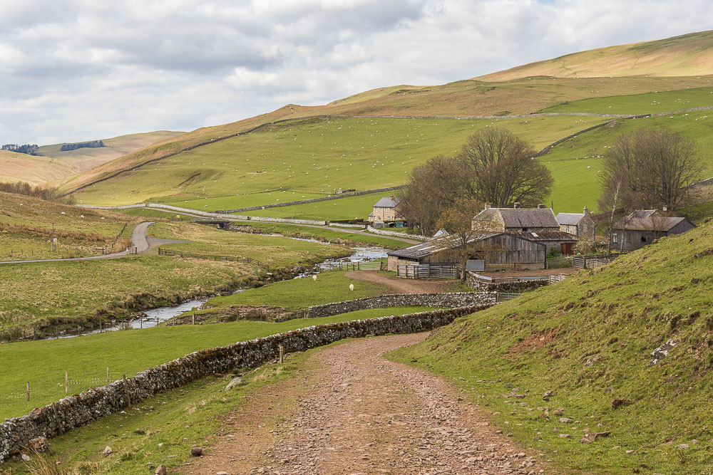
The hamlet of Shillhope comes into view, but our route takes us back on ourselves away from the hamlet.
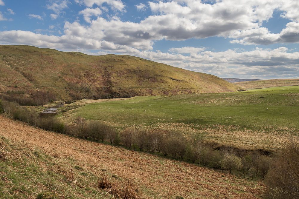
Our route takes us across the lower slopes of The Knocks following the route of the Coquet, but we will soon leave it as it meanders below Green Side.
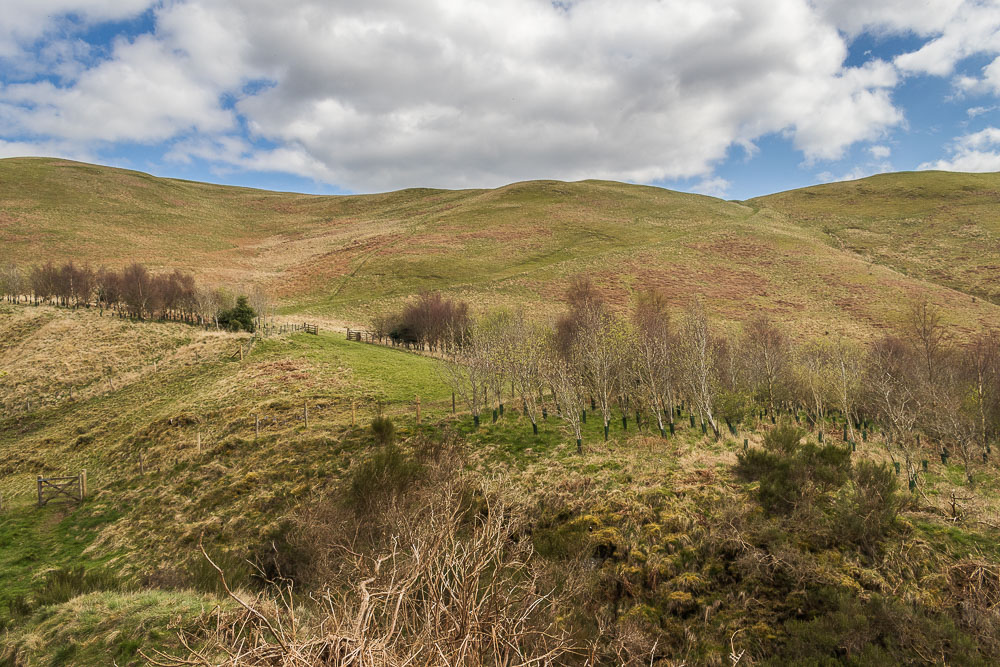
Unlike the river we wont be following the valley floor, but will soon be making the short ascent to cross over Green Side.
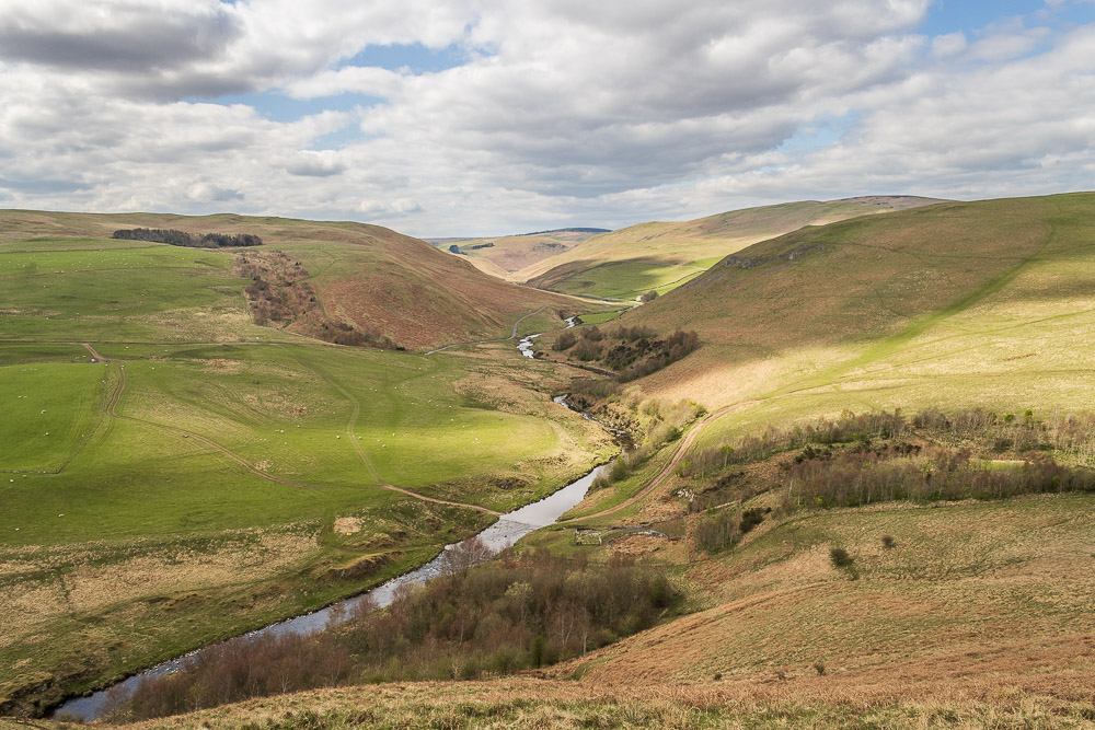
The short ascent gives us a great view back along Upper Coquetdale, with The Knocks and Shillhope Law to the right and Inner Hill on the left.
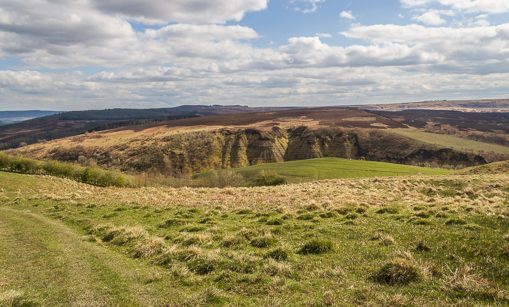
As we drop down the other side of the hill we can see the distinctive slopes known as Barrow Scar and across to the summit of Barrow Hill.
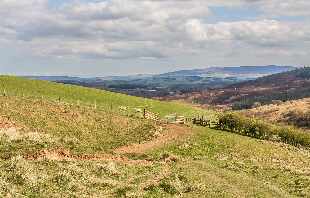
As we continue down the view opens up and we can once again see the Simonside Hills.
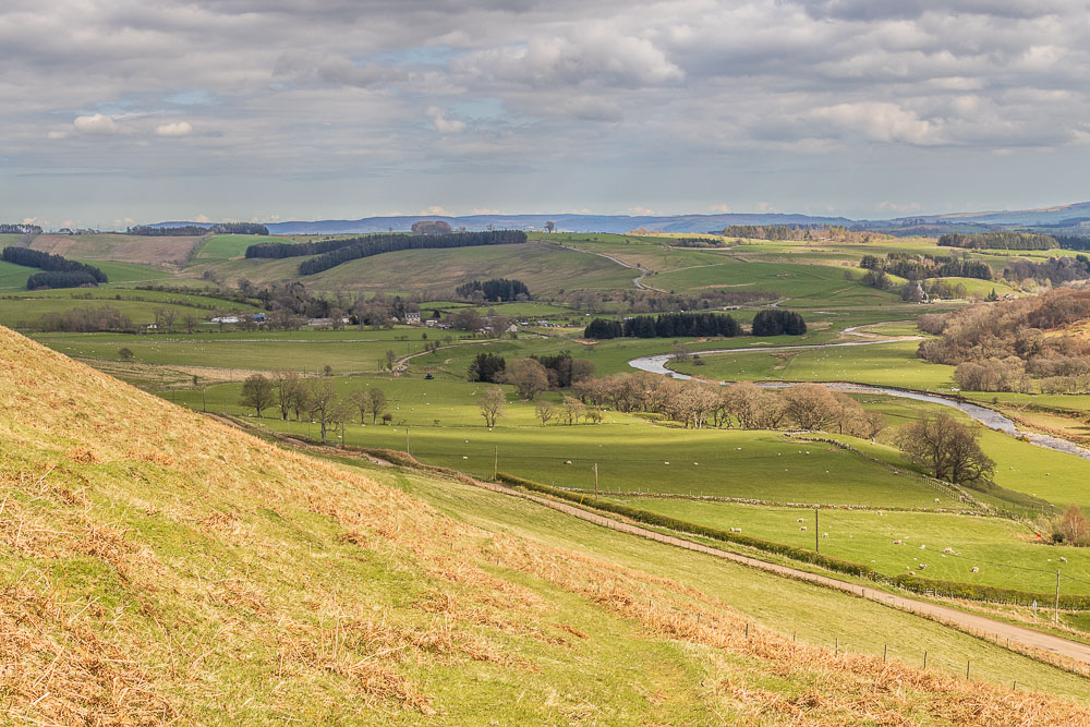
As Alwinton comes into view our route takes us down to the road, which we will follow back to the car.
All pictures copyright © Peak Walker 2006-2023